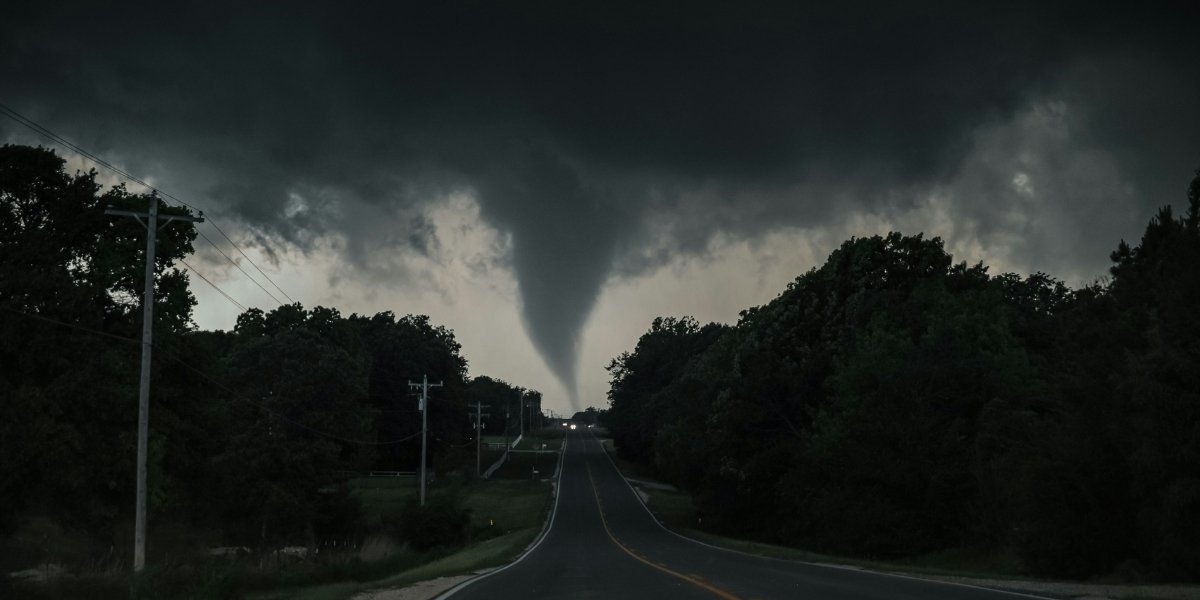
A tornado watch was issued on Monday, November 24, 2025, for the Houston metro area and much of Southeast Texas, remaining in effect until 7:00 PM CST. The watch was prompted by the severe weather sweeping across the region, with conditions favorable for tornadoes, large hail, and damaging winds. Affected counties included Harris, Montgomery, Fort Bend, and other surrounding areas.
For residents, the watch was a stark reminder of how rapidly weather conditions can shift in the region. What began as a clear morning quickly turned into dark clouds and heavy rain by midday. The tornado watch underscored the importance of staying alert during such unpredictable weather patterns.
Neighborhoods and Areas Affected by the Houston Tornado Watch
The tornado watch included several counties, such as Harris, Montgomery, and Fort Bend, extending across both urban and rural areas. The watch was particularly focused on areas north of Interstate 10, which are often more vulnerable to tornado activity.
As the storms developed, neighborhoods across the region began to experience disruptions. Traffic slowed, outdoor events were canceled, and businesses adjusted their operations to ensure the safety of employees and customers. For many, the tornado watch became a shared experience, with residents closely monitoring the weather and preparing for any potential impacts.
The Impact of Severe Weather on Houston’s Daily Life
For many in Houston, the tornado watch served as a reminder of how quickly weather can reshape daily routines. With clear skies earlier in the morning, many were caught off guard by the sudden storm. As conditions worsened, families quickly adjusted their plans, with some postponing or canceling outdoor activities while others took immediate precautions to protect their homes and belongings.
Schools and businesses across Houston were also monitoring the conditions. Some schools shifted to remote learning or extended hours to ensure that students could stay safely indoors. Local businesses adjusted their schedules or closed early, anticipating the worst of the storm. Public transit was also affected, as bus and train services adjusted their schedules to account for hazardous weather.
Understanding the Tornado Watch
A tornado watch does not mean that a tornado is occurring, but rather that conditions are favorable for tornadoes and severe thunderstorms in and around the watch area. A warning, which differs from a watch, would only be issued if a tornado is actually sighted or indicated by radar.
In this case, the tornado watch was issued based on radar data showing strong storm rotation in Montgomery, San Jacinto, and surrounding counties. This rotation indicated the potential for tornado formation as the storm system moved through the area. Along with the tornado threat, large hail and damaging winds were also considered significant risks.

As the day progresses and into the evening hours, the watch area may see storms intensify, with the potential for severe hail, wind gusts up to 70 mph, and even tornadoes in some areas. These storms are expected to shift eastward into Louisiana by nightfall, but their impact may linger for hours, especially across the most affected counties.
The watch, which lasts until 7 PM CST, means that residents and businesses across Houston and the surrounding counties should remain vigilant throughout the evening. The peak of the storm is expected to occur between the afternoon and early evening, so the next several hours will be crucial in determining the severity of the weather.
Preparedness and Response Reminders
Although this tornado watch does not indicate an immediate tornado threat, it still warrants close monitoring. Residents are encouraged to prepare for potential severe weather by:
- Monitoring multiple sources of weather updates, including official alerts from NWS and local media. For weather updates and forecasts via the National Weather Service Houston office: 281‑337‑5074.
- Securing outdoor objects that could become projectiles in strong winds.
- Identifying the safest places in homes and businesses to shelter, especially if a warning is issued later in the day.
- Having emergency supplies on hand, including flashlights, portable chargers, and emergency kits.
Local authorities have also advised businesses, schools, and community centers to review their emergency protocols and be prepared to shift to remote operations or implement shelter-in-place plans if the situation worsens.
Responding to Future Storms in Houston
The tornado watch today highlights the importance of continuous readiness as severe weather becomes more frequent in the region. As Houston continues to grow and develop, so does the demand for reliable communication systems and preparedness plans. This incident also serves as a reminder of how quickly severe weather can disrupt daily life, underscoring the need for continued investment in emergency response infrastructure and community education.
With a collaborative approach to weather monitoring and preparedness between local government, utilities, and the public, Houston can improve its ability to respond to similar incidents in the future. It is not only about tracking and responding to immediate weather events but also ensuring that infrastructure remains resilient in the face of rising storm risks.
As this storm system progresses, residents are urged to stay alert and take all necessary precautions to protect themselves and their property. The lessons learned from today’s events will be important in shaping the city’s response to future weather challenges.


